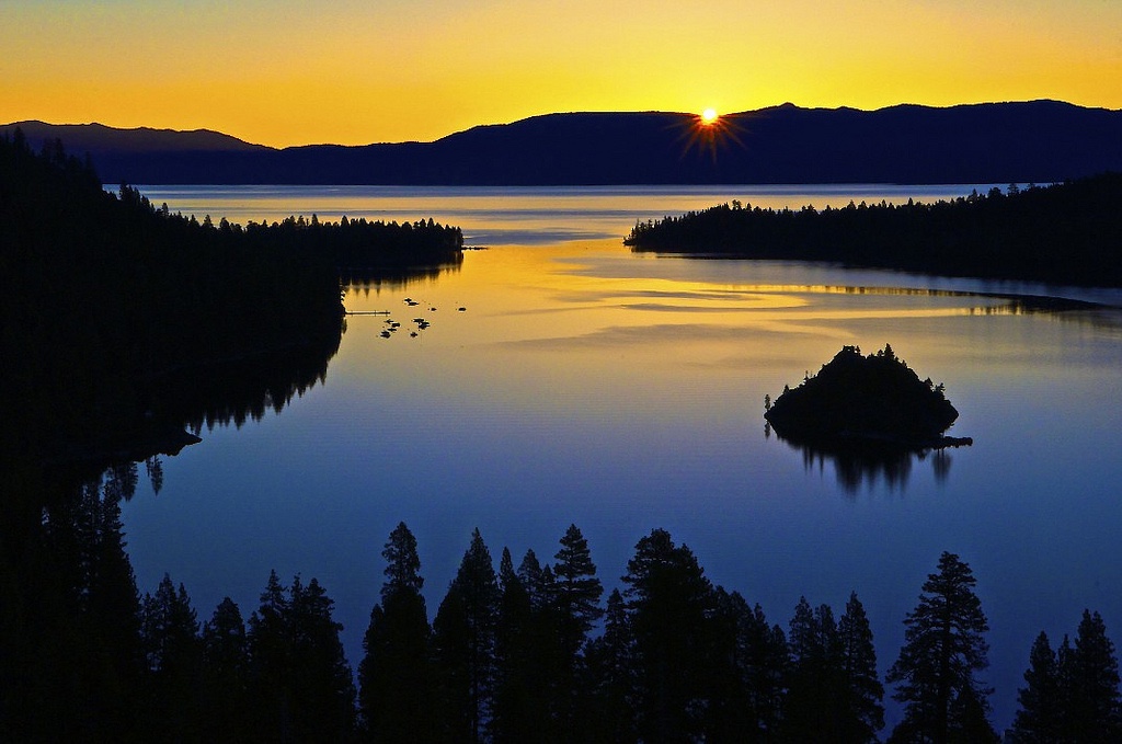


Santa Monica Mountains (SMM)
If you like climbing and descending gorgeous canyons, this is the place. Compared to Santa Barbara, Tucson, and Paso Robles, Malibu area distinguishes itself as my favorite place to ride, period.
For geographic context, the SMM National Recreation Area (NRA) is the largest urban national park in the U.S. and World for that matter. The land mass is 246 square miles with exceptional routes throughout.
Ideally, stage in central location for optimum access. While you may prefer ocean proximity, the Pacific Coast Highway’s (PCH) congestion and shoulder-width are unpredictable. My preferred location provided immediate access to Mulholland Highway, near Agoura Hills.
To maximize positive experience, minimize city centers, major thoroughfares, and PCH. Mulholland Highway is fantastic going east or west, but weekend traffic is a circus per motorcycle and car clubs. Perhaps, explore dirt on weekends. Overall, traffic is non-issue in SMM.
Highlights:
Climbs: PCH and non-PCH, steep and gentle
PCH (west to east:) Deer Creek, Yerba Buena, Mulholland Highway, Decker Canyon, Encinal Canyon, Trancas Canyon, Latigo Canyon, Corral Canyon, Rambla Pacifico, Las Flores, Big Rock, and Tuna Canyon (with some weaving together, e.g. Las Flores and Rambla, Deer and Yerba, as well as out and backs, e.g. Trancas, Big Rock, and Corral Canyon)
Non-PCH: Stunt, Piuma, Little Sycamore, Rock Store, Westlake, Fernwood Pacific Drive, and Saddle Peak (prefer to climb Piuma and descend Stunt, descend Westlake via Decker/Mulholland and climb two miles back, climb Saddle Peak from Tuna Canyon from PCH or via Fernwood)
Favorite steep climbs: Deer Creek, Tuna (albeit against one-way,) Las Flores, Corral Canyon, and Decker
Favorite gentle climbs: Piuma, Latigo, Yerba Buena, and Mulholland
Routes, e.g.: Up Little Sycamore down Yerba up Deer from PCH to Yerba to Little Sycamore to Mulholland or Mulholland Highway down Cold Canyon up Piuma down Rambla cut over on Hume and climb up Las Flores up Schueren and descend Stunt or descend at Las Flores and take PCH (2.7 miles) up Tuna Canyon up Saddle Peak and down Stunt
Connectors: Lechusa between Decker and Encinal, Hume between Las Flores and Rambla, Schueren between Piuma and Stunt, and Cold Canyon between Piuma and Mulholland Highway
Navigation: Encinal descent for Decker and/or Trancas climbs, Mulholland descent for Yerba, Yerba descent for Deer Creek, Latigo descent for Corral Canyon and Potrero to Hidden Valley (easy day)
Warnings: blind corners, steep gradients, hairpin switchbacks, unique cambers, occasional fast cars/motorcycles, high-speed traffic on Malibu Canyon, Topanga Canyon Boulevard, and Kanan Dume
Road Closures and Characteristics: Link for updates, Tuna Canyon ascent is against limited one-way traffic, Rambla Pacifico is gated near PCH
Group rides: Selfie Sunday, Wednesday Worlds, Serious Cycling, plus in L.A. see List of Group Rides (e.g. NOW, Nichols,) see Pasadena (e.g. Montrose, Rose Bowl)
Hydration: fire station off Decker, Circle X Ranch Ranger Station off Yerba, just down from top of Stunt, restaurants and gas stations on PCH
Strava Heatmap: 203,000 feet of elevation gain in <2 months

Appendix A / video:
Tom Pidcock descending Tuna Canyon (also has KOM on 7-Minute Hill)
Appendix B / Climbs:
Deer Creek: 11.4%/2.2 (steeps from the start)
Corral Canyon: 7%/5.4 (crazy steep for first 3 miles, but flattens; out and back)
Decker Canyon: 7.8%/3.6 (bit of reprieve in middle)
Rambla Pacifico from Gate: 9%/3 (longer if you navigate gates from PCH)
Las Flores Canyon: 8.7%/3.2 (from PCH or Hume connector)
Tuna Canyon: 7.2%/6.4 (climbs against 1-way traffic; distance includes extension up Saddle Peak)
Trancas Canyon: 13%/1 (crazy steeps in spots)
Big Rock: 10%/1.6 (quite steep in spots)
Stunt: 6.6%/4 (cars seem to race up it, but pairs nicely with Piuma or Tuna Canyon)
Rock Store: 7.5%/2.3 (road closed since 2018 fire, but opening soon)
Piuma: 6.5%/5 (access via Cold Canyon or Las Virgenes for more elevation)
Westlake: 7.8%/2 (expect some traffic from Westlake Village and descend carefully)
Fernwood: 6.7%/5 (higher population/traffic density)
Schueren: 6%/1.7 (great connector off Rambla, between Stunt and Piuma)
Latigo: 5.4%/6.8 (undulating; from Kanan it actually climbs, then descends nicely to PCH)
Yerba Buena: 5.2%/8 (great descent or long sustained climb; my PR was 46 minutes)
Mulholland from PCH: 3.7%/9 (great descent or climb)
Encinal Canyon (2): 5.4%/5 and 6.3%/1.7 (picturesque near PCH; fast descent with prevalence of cars/motorcycles on weekends)
Little Sycamore Canyon: 5%/2.8 (some of my favorite canyon views)
Old Topanga (2): 5.2%/1.7 and 3.5%/4.1 (bit congested)
7-Minute: 3.6%/2 (last push of Wednesday Worlds group ride)
Appendix C / Gravel:
Point Mugu, Encinal-Yerba, and Puerco Canyon
——————————————————————————————————
Contact:
Comment on Strava with any questions.


As of late October, I returned to Malibu for extended stint and brought two bikes, including gravel bike. I’ve published separate story on gravel scene, if you’re interested. This go-around I’ve discovered a couple super-steep climbs worth mentioning: Yellow Hill (which is off Yerba Buena) and Cadenhorn (which is behind Rock Store restaurant.) Both climbs are rather challenging and not something I’ll seek out often, but I had to hit them at least once and made the Strava Leaderboard (Top 10) on each.
In terms of helpful hints, consider the following:
-avoid Mulholland Hwy on the weekends, unless you enjoy having motorcycles and cars flying past you at 100 mph
-when choosing routes, I prefer ascending Piuma and descending Stunt
-when descending to PCH, I tend to avoid Deer Creek and Decker, but I love climbing them
That’s it for now…